Other Volumes from the Streets of Mission Beach
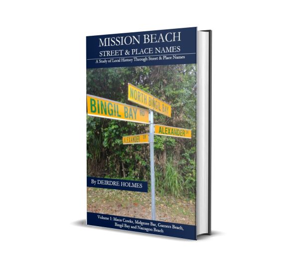
Volume 1: Maria Creeks, Midgeree Bar, Garners Beach, Bingil Bay & Narragon Beach
Volume 2: Mission Beach

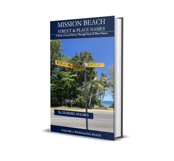
Volume 3: Wongaling Beach
Volume 4: South Mission Beach & Carmoo

The El Arish township is approximately 18 kilometres inland from Mission Beach. It was originally called the Maria Creek Soldier’s Settlement which was established under The Returned Soldiers Act of 1917.
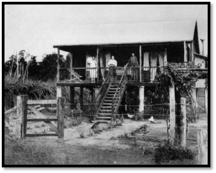
In 1921, the Australian Government allocated 72 lots of 40-acre and 50-acre blocks that were balloted off. The land was to be used for sugar cane farming. The town was renamed El Arish after the Egyptian (previously Palestinian) town Arish, which was the site of a significant battle by the Australian Light Horse against the Turkish Army in 1916. Many of the streets are named after high-ranking officers under whom many of the soldiers had fought.
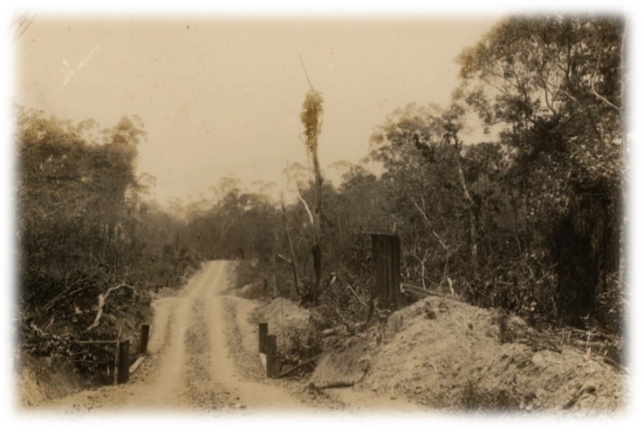
El-Arish Mission Beach Road 1936
The first sugar cane harvests were sent to the Johnstone Mill but in 1925 the Tully Sugar Mill was established and commenced crushing El Arish cane. The town grew with cane cutters, migrants and families moving into the area. There were several timber mills, stores, a school, hall, hotel and a railway station. The road between El Arish and Mission Beach was officially opened in July 1936. The population peaked in the 1950s but with the introduction of mechanical cane harvesters and better roads the town began a dramatic decline. El Arish today has an active community which has very close connections to the ANZACs and ANZAC Day celebrations.
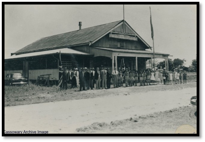
ANZAC Day 1952, El Arish RSL Memorial Hall
References & Reading:
Sean Davey, El Arish: A History of War & Sugar in Far North Queensland
Wikipedia, El Arish, Queensland
Queensland Place Names- El Arish
Elarishnq.com, El Arish, North Queensland
Jubilee Souvenir of Innisfail & District 1873-1923
State Library Queensland
Cassowary Coast Libraries

![]() The Mission Beach Historical Society Inc
The Mission Beach Historical Society Inc
ABN: 66515594120
Is registered as a charity with
Australian Charities and Not-for-profits Commission.