 Download PDF
Other Volumes from the Streets of Mission Beach
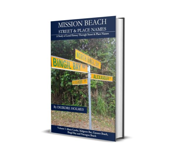
Volume 1: Maria Creeks, Midgeree Bar, Garners Beach, Bingil Bay & Narragon Beach
Volume 2: Mission Beach

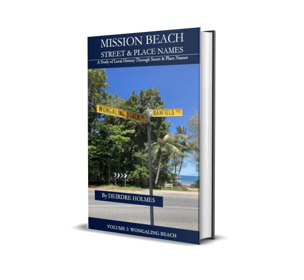
Volume 3: Wongaling Beach
Volume 4: South Mission Beach & Carmoo

| |
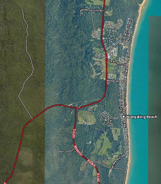
Mission Beach is a town of 4,055 residents according to the 2021 Census. It includes several villages separated by small tracts of forests that fringe the many beaches of the area. Volume 3 of this Place & Street Names history covers the village of Wongaling Beach. A Queensland Globe Map shows the area involved starting at Mission Circle in the north and ending at Wheatley Road to the south. |
 |
|

![]() The Mission Beach Historical Society Inc
The Mission Beach Historical Society Inc
ABN: 66515594120
Is registered as a charity with
Australian Charities and Not-for-profits Commission.